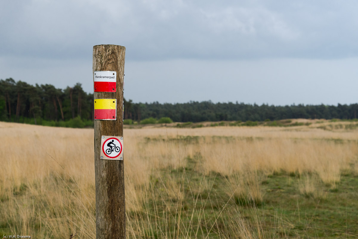
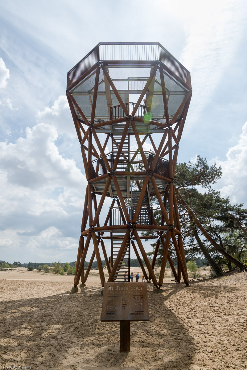
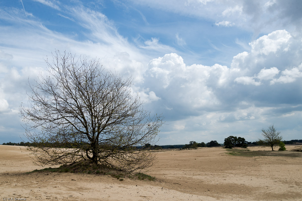
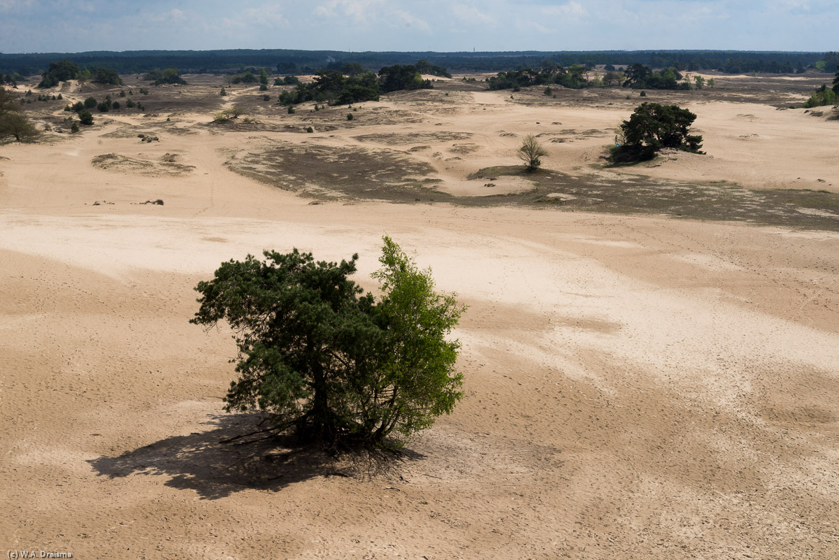
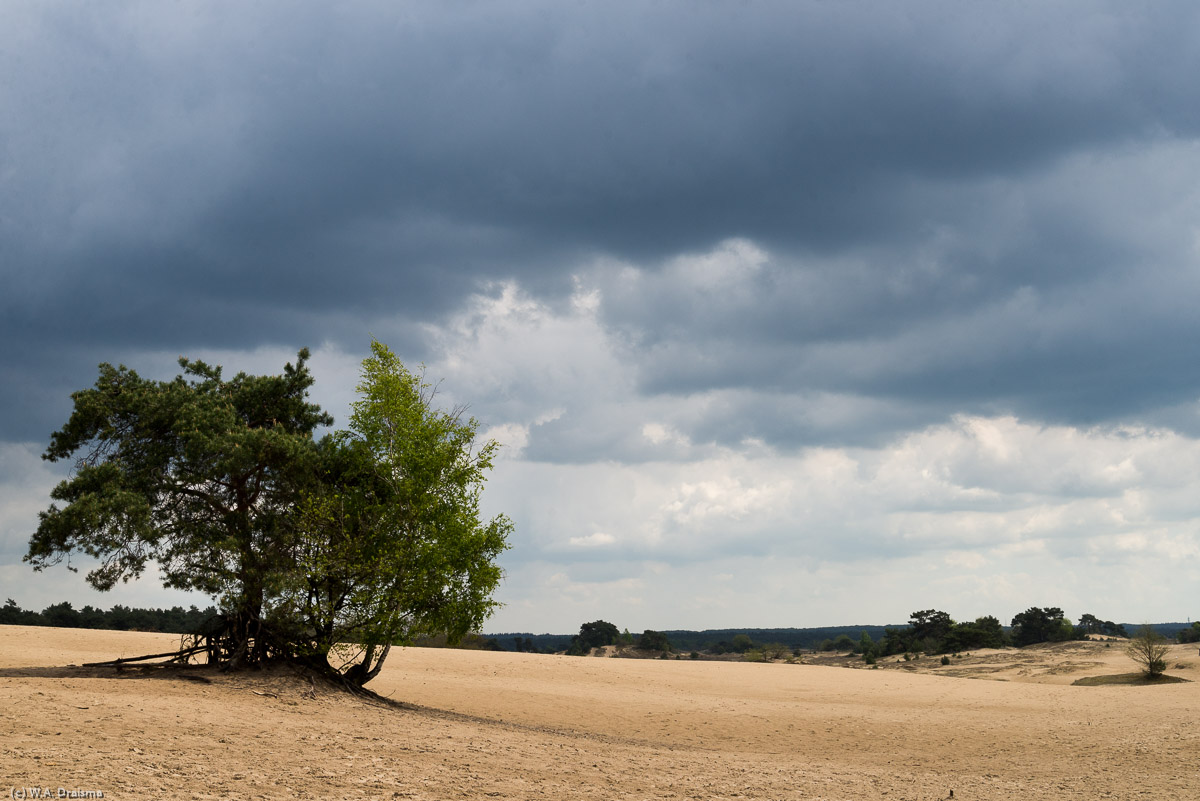
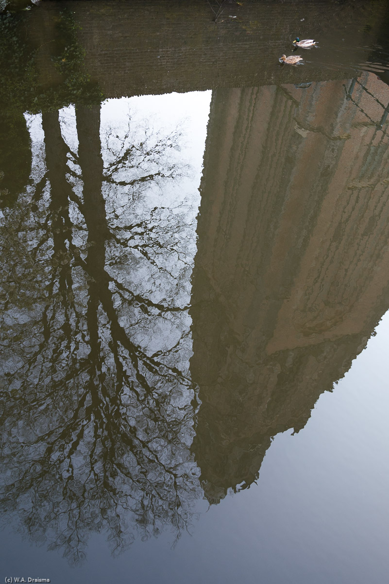
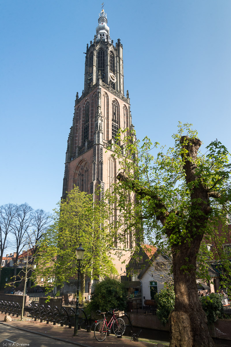
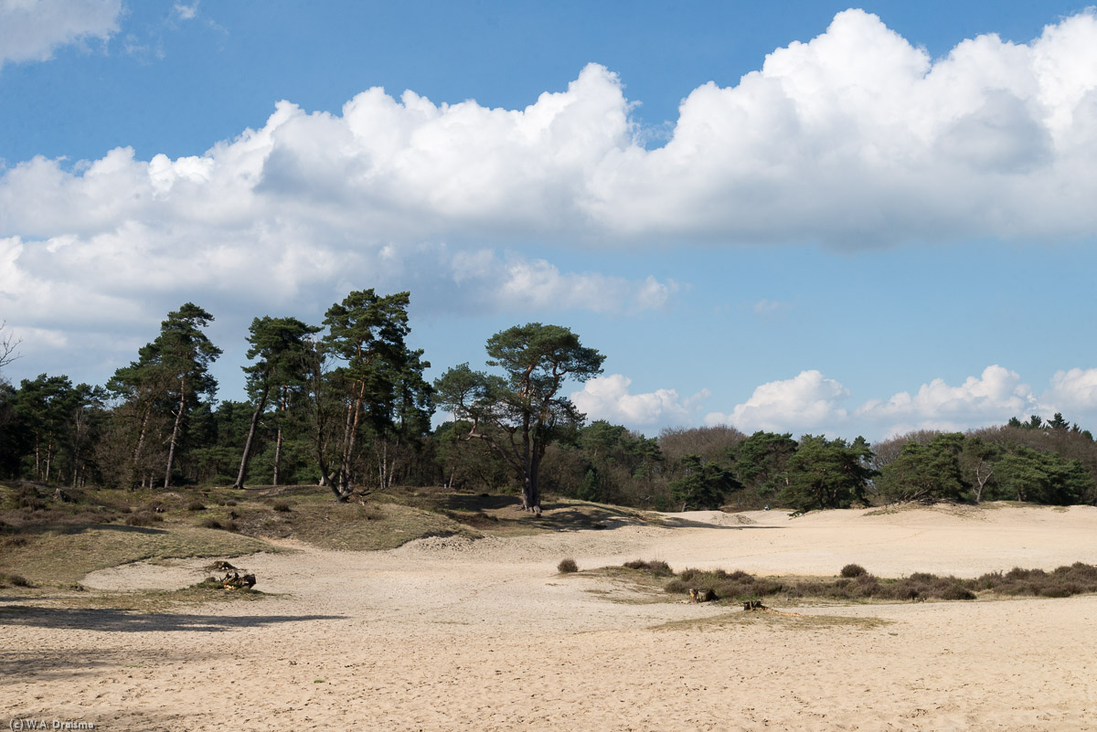
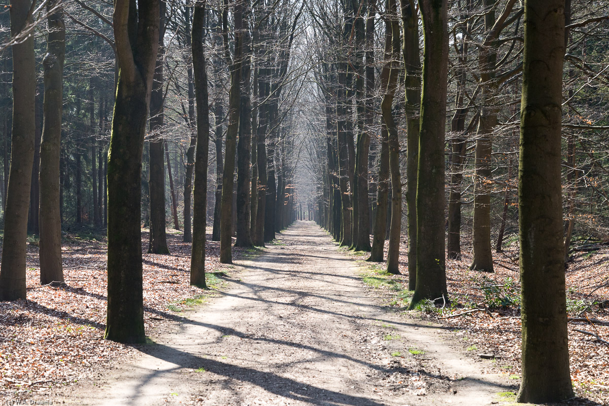
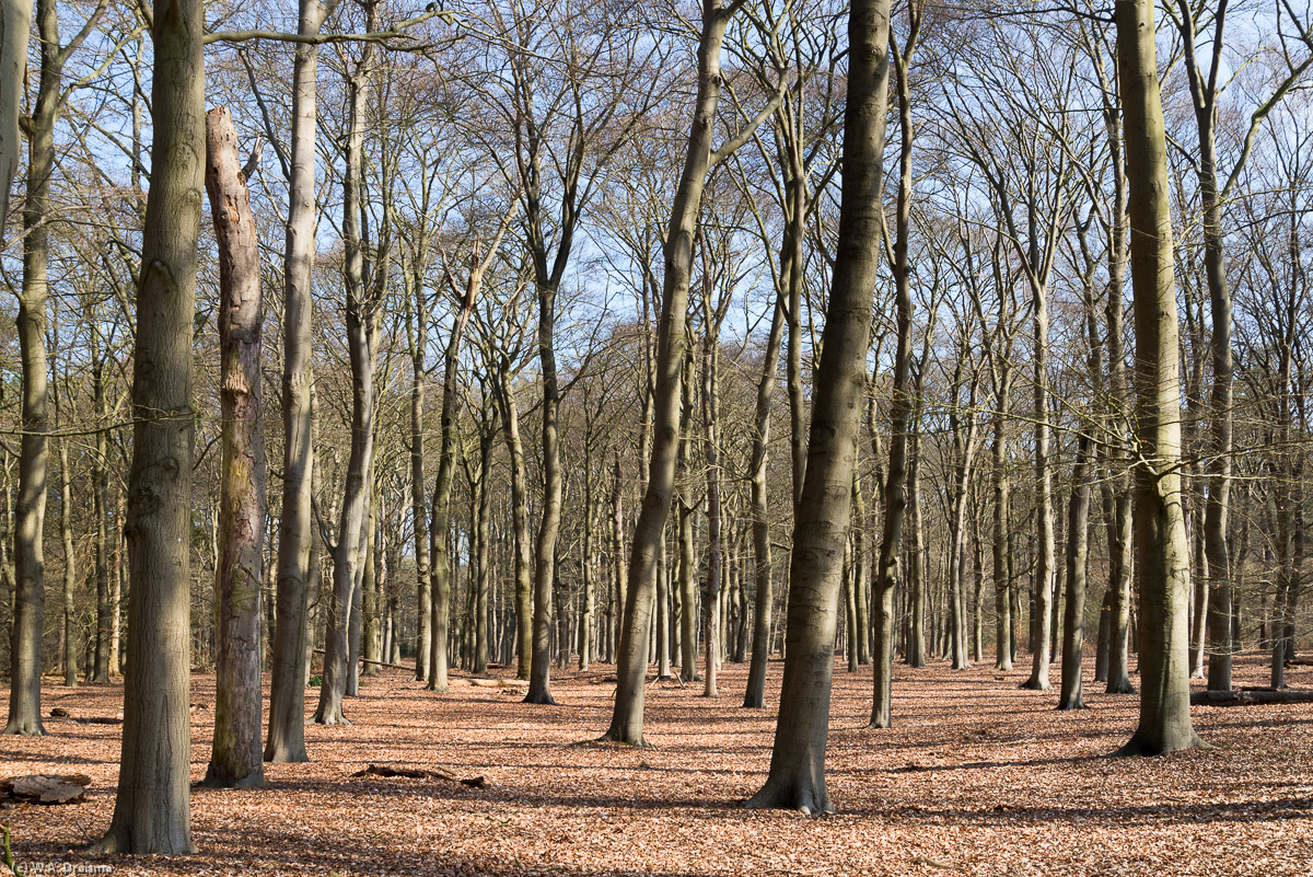
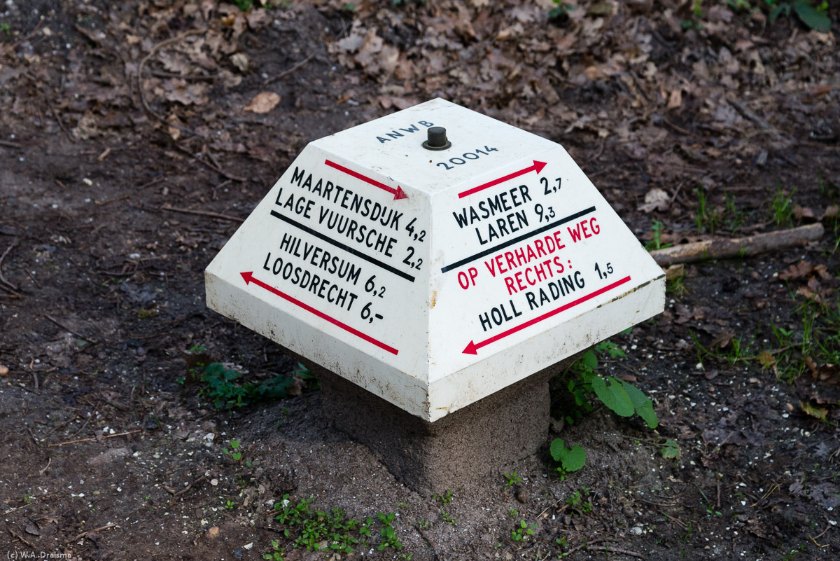
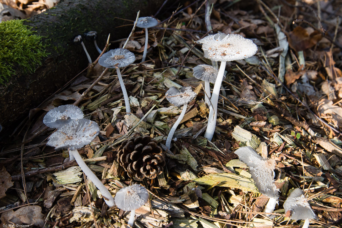
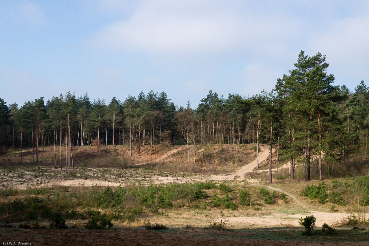
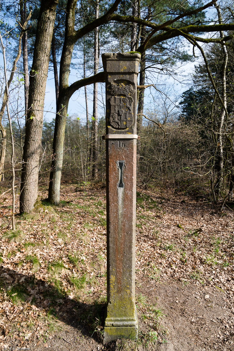
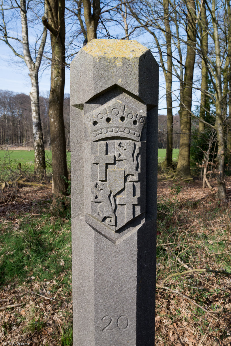
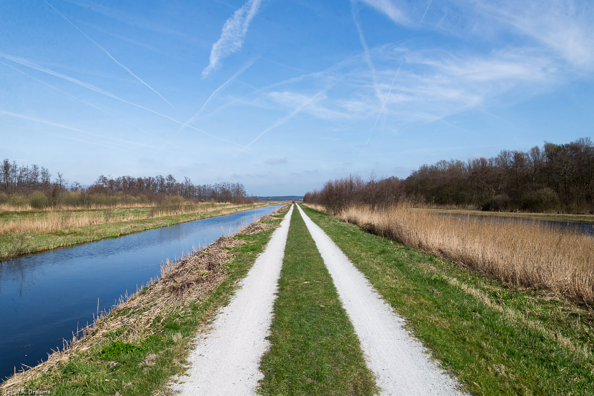
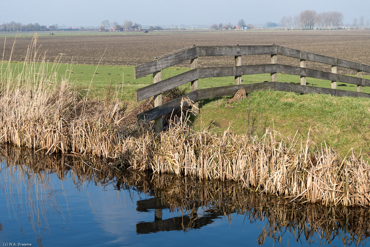
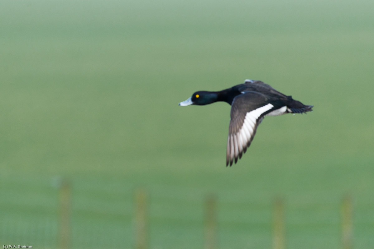
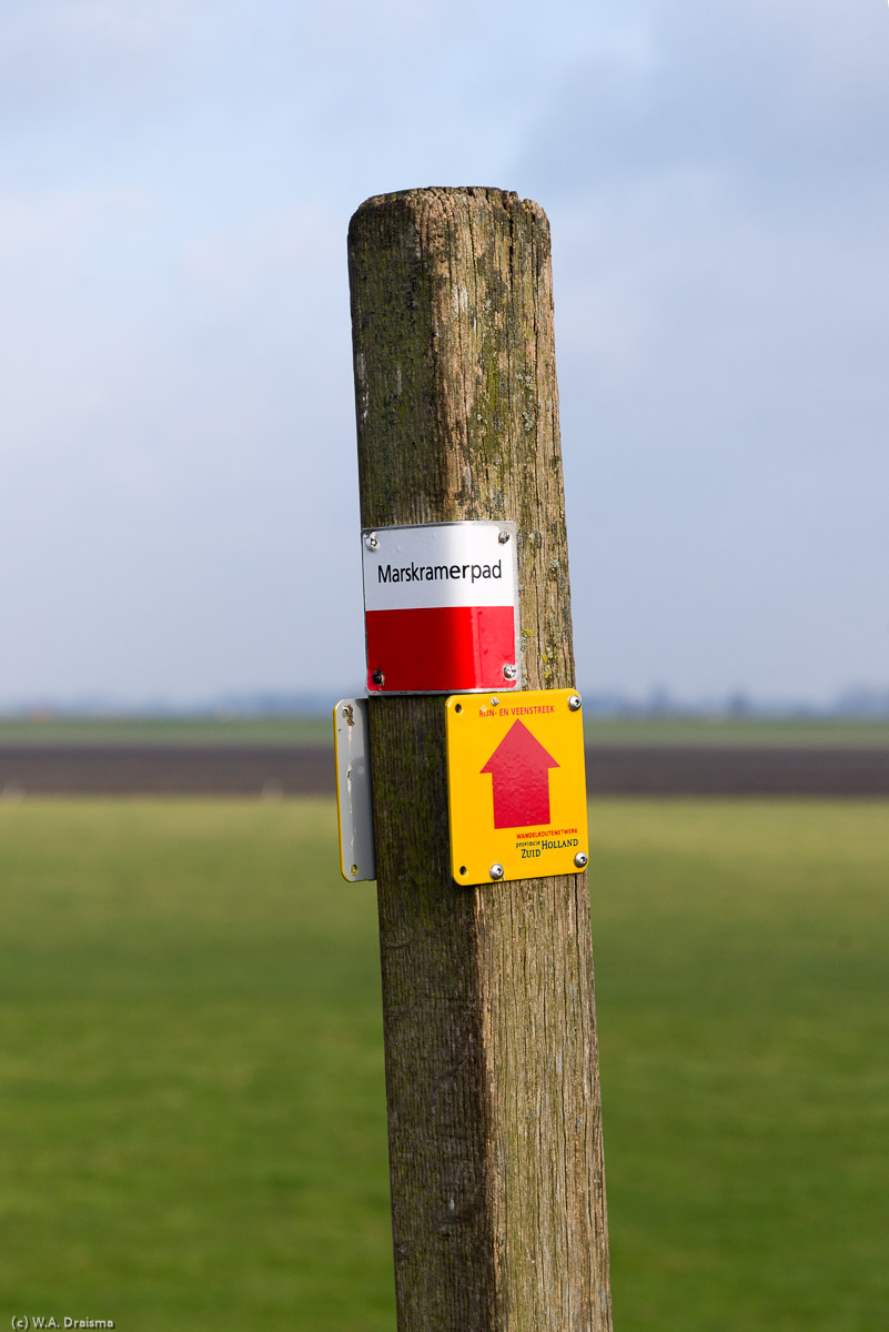
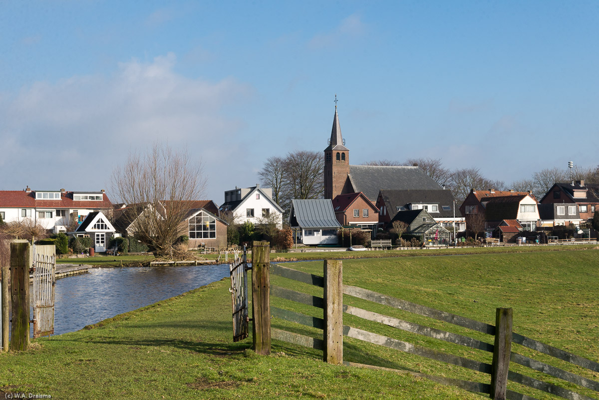
Around the World ... Marskramerpad

2016/2017

II
We're following the Marskramerpad, a 372km trail from east to west through The Netherlands that starts in Bad Bentheim just over the border in Germany and ends at the North Sea in Scheveningen. The Heldringkerk is one of the oldest buildings in the village of Hoenderloo. Built in 1854 it is named after Ottho Heldring who "discovered" Hoenderloo in 1839. A beech killed by the tinder fungi still visible on its trunk. A beech avenue in the Hoenderlose Bos. Planting of the Hoenderlose Bos brought work to the at that time very poor population of Hoenderloo. A lot of wild boars are living in this forest and though we see a lot of traces of their presence they don't show up themselves. From the forest we cross a drift sand area. A trail marker shows the route over the sands. A low sun peeking through the clouds colors the heath golden and the sky an ominous dark blue. A rainbow over the forest is a clear sign that there's rain not too far away. Although it's no acacia tree this Scots pine does provide a feeling of an African savannah. A couple of birch trees standing on the heathlands of the Buurlose Heide. The common mullein is a yellow flowering plant that flowers from July to October and that can reach a height of two meters. A circle of stones. No idea who made it or with what purpose in mind but it makes a nice picture. A sheepfold in the old hamlet of Hoog Buurlo. Hoog Buurlo is an agricultural enclave surrounded by forests and heathlands. It consists of two former farmsteads and two sheepfolds. A flock of sheep in one of the two sheepfolds of Hoog Buurlo. The sheep stay here during the night. The second sheepfold seen between the beech trees of one of the access roads. Although the heath is not flowering yet the other vegetation present at Achterste Steenberg provides a colorful panorama. The Kootwijkerbovenbosch, a patch of forest near Radio Kootwijk. Leaving the Kootwijkerbovenbosch we're again out in the open heathlands. Birches surround the trail. Although it's early in May some trees still don't  seem to have any new leaves. De Kathedraal in Radio Kootwijk seen from a distance. This is the place where the first telegraph connection with the former Dutch colony in the East Indies was established. Over the heath we're walking towards the sand drift of Kootwijkerzand. De Dikke Bart is a place where there used to be a small hamlet of farmers. Over times it disappeared under the drifting sands. A row of Scots pines separate the Dikke Bart from the forested lands behind it. The Zandloper, a new viewing platform erected in 2017 provides panoramic views over the Kootwijkerzand. It's 13.5 meters high and weights 17,000 kg. The Kootwijkerzand is the largest drift sand area of Western Europe. It has a surface of about 700 hectares. The area has been inhabited since about 2500 BC. Between 200 AD and 700 AD the population grew into something like a small village but overgrazing and the resulting sand drifts clogged the waterholes and the area was deserted again after about 1000 AD. The prevailing winds have sculpted the remaining Scots pine into interesting shapes. A dead trunk stands out amongst the living trees. Though not really situated at the Marskramertrail the Loofles and especially the two horse riding ladies provide a view that is more akin to something seen outside of The Netherlands. The Stroese Heide is a large area of heath lands to the west of the village of Kootwijk. In the right season it's one sea of pink but even when the heath is not blooming the Stroese Heide is a beautiful area. A few birches have escaped the grazing sheep that keep the heath lands open. Without grazing sheep the heath lands would eventually disappear as trees would grow and become a forest. Over a trail that doubles as a bicycle path we turn north towards the village of Stroe. The Stroese Heide is also known for a number of prehistoric burial mounds and humans have been living in this area since about 2800 BC. With a last view over our shoulders we leave the Stroese Heide. A boy and girl sitting on a bench just outside the village of Stroe. The marshy Watersemeer at Boeschoten. Boeschoten is a centuries old enclave of about 750 hectares at the Veluwe. Boeschoten is situated in one of the oldest forest of The Netherlands and it used to be far from the inhabited world. We walk over old trafficking roads that over time widened by the horse drawn carts that transported merchandise brought westwards from Germany. The arrival of spring is clearly visible in the light green leaves sprouting from the beecheas along the trail. The old Boeschoten sheepfold. In the old days when no fertilizer existed dung left by the sheep mixed with heath sods would provide manure to the farmers. A pile of Scots pine trunks. Judging from their annual rings these trees were about 40-50 years old when they were cut. While previous year's leaves cover the forest floor spring is coloring these beech trees in green again. West of Veenhuizerveld we enter the Gelderse Vallei a low lying area between the Veluwe and the Utrechtse Heuvelrug, another terminal moraine of the glaciers that covered the Northern half of The Netherlands during the Ice Ages. A lapwing sitting on its nest on Appel Estate. The Gelderse Vallei used to be a marshy area funneling rain and groundwater flowing from the higher lying morraines to the former Zuiderzee. From about 800 BC farmers entered the higher parts of the valley creating small fields for farming surrounded by low ramparts. Because of its wetness the central part of the valley remained virtually unpopulated until in the late Middle Ages, between 700 and 1000, cultivation of this part started as well. Nowadays the valley has been mostly cultivated but several places still provide the scenery as it used to be a thousand years ago. One of these places is Appel Estate where a mixture of marshes, heathlands and forests provide a view into the past. The weather is not particularly good but the low hanging clouds deliver a dramatic finishing touch to the panoramic view. And a few showers, unfortunately. On a higher part of Appel estate a forest consisting of beech trees has set root. We leave Appel Estate again though a stately row of beeches. South of the village of Terschuur lies the former estate of Klein Bylaer. The area is marshy and it doesn't look particularly inviting to leave the trail at the edge of the forest and enter into the open space. The shallow water and windless afternoon does provide some great views though. From Klein Bylaer we enter paradise, or Het Paradijs as it is called. Some windflowers are mirrored in the waters of the Barneveldsche Beek (brook). The late afternoon sun provides a warm glow over the fields and trees. A farmstead appears between the trees. Just outside the village of Achterveld someone has created a funny figure made of metal scrap like screws and old pincers. In 2016 the Modderbeek in Achterveld has been made shallower and curvier so it better resembles the brook as it was a hundred years ago providing a better habitat for water plants and animals. The Saint Jozef Church in Achterveld is a church built in 1933 in a Neo-Romanesque style. On the church's grounds stand this sculpture called "Bijna Vrij" (Almost Free). It commemorates the high-ranking talks between the Allied Command and the occupying German government in 1945 to allow food-help to the starving cities in the west of Holland resulting in Operation Manna. Near the village of Stoutenburg-Noord we again come across the Barneveldsche Beek which calmly flows between the green meadows. Walking under a blue sky and through green pastures we approach the city of Amersfoort. Walking through the outskirts of Amersfoort from the east side the first gate we see is the Monnikendam. The Monnikendam is an old water gate through which the waters of the Heiligenbergerbeek entered the city. The Monnikendam was built around 1400 as part of the second city wall. Its name probably comes from the Augustine monks that lived here nearby at that time. A plaque of a kingfisher decorates the wall of a house near the city's center. Huis Tinnenburg was probably built not long after Amersfoort received city rights in 1259 and probably as part of Amersfoort's first city wall. It was mentioned for the first time in 1414. The Kamperbinnenpoort, on the northern side of Amersfoort's old center was built in the second half of the 13th century as part of the first city wall. It's the oldest gate of Amersfoort still in existence. A sculpture decorating the wall of the Langegracht one Amersfoort's canals. A third medieval gate is the Koppelpoort, both a water and a land gate guarding the entrance to Amersfoort as part of the second wall. It was built between 1380 and 1425. The Koppelpoort was opened and closed every day. In closed state it was never breached withstanding for example the siege of Amersfoort in 1427. Museum Flehite, situated along the Westsingel is Amersfoort's historical museum. View over the Westsingel with in the distance the tower of Saint Pieters and Bloklandts hospital. The Onze Lieve Vrouwetoren (Tower of Our Lady) mirrored in the surface of the Westsingel. The Onze Lieve Vrouwetoren is almost 100 meters in height reaching high above Amersfoort's old buildings. The church that the tower once was a part of was blown away by a gunpowder explosion in the 18th century. Walking in opposite direction to the pointers to the centre we leave the city of Amersfoort again. Approximately 3km east of the city of Amersfoort lie the sands of the Korte Duinen (short dunes). It's an area where due to human activity in the past removal of the upper layer of vegetation exposed the underlying sandy soil. In the Korte Duinen the sands are still able to drift freely with the winds. A larger area of drifting sands lies a further 3km west of the Korte Duinen. This area is called Lange Duinen or long dunes because of its larger size. While the upper layer of vegetation has disappeared here as well in some places the original heath cover is still visible. A common sight in sandy soils and heathlands are Scots pines growing solitary or in small groups. Standing alone they are smaller and broader than when standing in a forest and their roots are often exposed by the prevailing winds. An irrigation channel is an uncommon sight in the low lying Netherlands. But the higher sandy grounds could become quite dry making irrigation a necessity in the past. A stately avenue of beeches. And more beeches though a little bit irregularier placed. A so-called mushroom showing distances to nearby places guiding bicyclists in the right direction. A small group of harefoot mushrooms shows up even though it's early in spring. This area is part of the most southern extent of the glaciers that covered the Northern part of Europe during the various Ice Ages. This marker from 1719 marks the border between the provinces of North Holland and Utrecht. The border dates from 1351 but skirmishes between the earl of Holland and the bishop of Utrecht continued. In 1719 the border was finally settled. Hollandsche Rading is a station on the railway Hilversum - Utrecht. This part of the railway has a special type of concrete structures supporting the overhead line  not seen anywhere else in The Netherlands. Another boundary marker from a younger age (1925). A total of 22 markers where placed along this former formal border between the provinces of North Holland and Utrecht. The Tienhovens Kanaal was used to ferry turf away from the surrounding peat lands. It was also used as inundation channel for the New Hollandic Waterline, a series of water-based defences. The Tienhovens Kanaal also forms the southern border of the Tienhovense Plassen, a marshy area created by extensive extraction of turf from the surrounding peat lands. De Trouwe Wachter is a polder mill east of the village of Tienhoven. It dates from 1832. De Trouwe Wachter (faitful watchman) got its name in World War II as the miller at that time used the wings of the mill to transmit signals to people hiding from the Germans. Fields of reed at the Tienhovense Plassen. A white stork patrols the fields in search for something to eat. A grass dyke leading to the small village of Tienhoven. The remains of Fort Tienhoven, a fortification in the Hollandic Water Line. Fort Tienhoven was used to control access to the area in times of inundation. It was build in 1848 but has since fallen to ruins. A flowering bog rhubarb. Nijenrode Castle near the town of Breukelen dates from 1275 but has been demolished and rebuild several times over the centuries. Since 1946 it's being used by Nyenrode Business University. A row of houses in the old part of Breukelen. New York's borough Brooklyn was named after this town by Dutch colonists when New York was still called New Amsterdam. The Spengense Mill is a polder mill used to drain water from the Spengense polder to the Bijleveld canal. It was build in 1841 as successor of a mill on the same spot that had burned down. The Spengense Mill was in use until 1965 after which it became increasingly difficult to drain water from the polder due to subsidence of the peat polder bottom. The Bijleveld canal dates from 1413 after Earl William VI gave his permission to dig a canal from the Old Rhine to the Amstel River to drain excess water. The Westveense Mill is a polder mill from 1676 located near the village of Woerdense Verlaat. It was in use until 1976 and has been restored completely in 2010. The Kromme Mijdrecht is a meandering river that flows from the Grecht canal in the village of Woerdense Verlaat to the Amstel River. It's nice walking along the banks of the Kromme Mijdrecht. A great spotted woodpecker tries its luck on a tree. Knotwilgen are willows that have been cut at about 2m height which is repeated every 5-7 years. The base of the twigs gradually evolves into a so-called knot. They are a characteristic part of the Dutch polder landscape. A farmstead situated on the banks of the Kromme Mijdrecht. The trail passes a house with an interesting window. The climbing frog adds something special to the glass bottles and ceramic figures in the windowsill. After a couple of kilometers walking along the Kromme Mijdrecht we're about to head inland again. Wooden poles in the waters of the Kromme Mijdrecht. Two greylag geese in flight. The Groene Jonker is a relatively new nature reserve converted from former farm land. Its abundant water and fields of reed makes it a good place to see birds like for example spoonbills. Rather than an aid to study the many birds in the Groene Jonker this monocular makes a nice artistic addition to the viewing platform. Noordeinde's claim to fame is a copy of the well known Lourdes Cave in France. The entrance gate reads "Me yesterday and you today" in Latin. The Lourdes Cave in Noordeinde is 6m high and built from rocks imported from the Belgian Ardennes. The pastor of Noordeinde erected this copy of the real cave in 1913 when two of his maids where too ill to visit the real cave in Lourdes. A fence just outside Noordeinde bathes in the sun on a nice February afternoon. A tufted duck takes flight. We're following the Marskramerpad, a 372km trail from east to west though The Netherlands that starts in Bad Bentheim just over the border in Germany and ends at the North Sea in Scheveningen. Although the dyke just west of Nieuwveen itself is about 3m below sea level the polder to the right is about 2m deeper. Two common crested grebes swim inside the village of Papenveer. The village's name refers to the place where Catholics or Papen used to be ferried across the Aar to allow them to go to church in the nearby village of Langeraar. A dyke separates the Leidse Vaart on the right from the lower lying Langeraarse Plassen on the left. Near Rijnsaterwoude the Marskramer trail passes though the middle of this polder where asparagus is being grown on both sides of the stream in the middle. The reformed church of the village of Woubrugge. It is nice living on the shores of the Woudwetering. A farmstead on the opposite side of the Woudwetering. This is where the Woudwetering meets the Wijde Aa. The Kalkmill, from 1685, was relocated from Leiderdorp to Hoogmade because of the better wind conditions here. Together with the nearby Doesmill it drains water from the Doespolder. The early morning mist is not completely gone but the church and the village of Hoogmade are clearly visible in the distance. A barnacle goose flies over our heads. The Does, the Doesmill and, in the distance, the village of Hoogmade. The Doesmill dates from 1630 and was in use until 1953. After a restoration it is again in working condition although a reduced water level in the polder makes that it can only work in a line with the nearby Kalkmill. The Doeshofmill dates from 1830. The mill used to drain water from the Huis ter Does polder until 1949. Since 2004 the restored mill is able to fulfill its original duties again. The Achthovense Mill, located in the Achthovense polder east of Leiderdorp. Dating from 1893 it's still occasionally used. The old water tower of the city of Leiden dates from 1908. It has a height of 29.5 meters and a water reservoir of 1200 cubic meters. It's being renovated and converted to a residential building plus a B&B in its lower parts. Wall paintings along the Nieuwe Rijn near Leiden's city center. The history of the Hooglandse Church goes back to 1314 when the Bishop of Utrecht gave his permission to build a wooden chapel on the 'Hooge Land' or High Land. The Hooglandse Church as seen from the entrance of the Burcht an old shell keep in Leiden's city center dating from the 11th century. The Burcht is situated on an artificial hill of about 9 meters high. Its walls have a thickness of just under a meter and its circumference is about 35 meters. The Burcht used to oversee the spot where two tributaries of the river Rhine, the Oude Rijn and the Nieuwe Rijn, join to form the Stille Rijn. A drawbridge spans the Oude Rijn which has a frozen surface on this cold but beautiful January day. Houses reflect in the mirroring waters of the Stille Rijn flowing through the heart of Leiden. A statue of a flower seller in  Leiden's city center. In the background the Church of  Our Lady of the Immaculate Conception, locally know as the Coelie Church because of the Latin inscription above the entrance 'Hic Domus Dei est et Porta Coeli'. The Gravensteen with, in the front the place where prisoners were executed. The last execution took place here in 1853. The Gravensteen dates from the beginning of the 13th century and was used as the (private) jail of the counts of Holland. Today the building is being used by the university. The Academiegebouw is the oldest building and the heart of the University of Leiden. The building dates from 1516 and predates the university by 59 years. Leiden observatory, part of Leiden University, is the world's oldest university observatory still in existence. Famous astronomers like De Sitter and Oort worked here. View on the frozen Trekvliet, one of the many picturesque canals in the center of Leiden. Muurtoren Oostenrijk, dating from the 15th century is the last tower remaining from the 32 that once surrounded Leiden as part of Leiden's city walls. The Zoeterwoudse Singel arguably one of the prettiest spots in Leiden. Oyster mushrooms on a tree trunk in the outskirts of Leiden. The surface of the Vliet makes a perfect mirror for this new part of the town of Voorschoten. A common kingfisher rests on a small branch near a small stream in Voorschoten. The roots of an old tree on De Horsten estate. De Horsten estate in Wassenaar is the result of the acquisition of three estates, Raephorst, Eikenhorst and Ter Horst by Prince Frederik, the second son of King William I of The Netherlands. The current King Willem-Alexander lives here in Villa Eikenhorst. Trees lined up next to a stream on De Horsten estate. Wassenaar is full of estates like this. A sculpture of the goddess Athena supporting a warrior on de grounds of De Paauw estate in Wassenaar. The statue of a bathing Hendrickje Stoffels placed in a pond situated on De Paauw estate. The statue is derived from a famous painting by Dutch painter Rembrandt van Rijn. Apart from his model Hendrickje was also Rembrandt's partner. On a sort of peninsula on Wiltzangk estate and partly under a hill  covered with various mosses lie the remains of the so called hermitage, built in 1775. A tree lined stream near Wiltzangk estate. False turkey tail (right) and plicaturopsis (left) mushrooms grow on a fallen tree. There are not too much people around on this early January morning. The low winter sun casts rays of light between the trees of Rust en Vreugd estate. Leafless trees reflected in a small stream. 'Searching Eggs for Easter' is a statue made by Hans Balner located at Wittenburg estate. The Haagse Bos, a forest reaching from Wassenaar to the old city center of The Hague is one of the oldest remaining forests of the country. During World War II the German forces used it as the launching place of their V-1 and V-2 rockets. A blue heron in a stream in the Haagse Bos. Part of New Babylon, a complex of buildings around The Hague Central Station. Walking from The Hague Central Station to the city center a look over the shoulder reveals a nice view: the city's skyline. The Binnenhof is the political center of The Netherlands since 1584. It houses the meeting place of both houses of the States General of the Netherlands, as well as the Ministry of General Affairs. The Ridderzaal is the main building of the Binnenhof. Originally built as a ballroom it is used for the state opening of Parliament every third Tuesday of September and the place the Dutch monarch delivers the Speech from the Throne. Detail of the Neo-Gothic fountain in front of the Ridderzaal. The same gargoyle in even more detail. The Prime Minister's office has since 1982 been located in the small tower in the northern corner of the Binnenhof, simply called the Torentje (Little Tower). Hotel Des Indes, formerly the townhouse of baron van Brienen van de Groote Lindt, a personal advisor of King Willem III, was converted to a hotel in 1881. Plein 1813 is a square in The Hague with in the middle a monument commemorating the victory over Napoleon and French rule over The Netherlands, independence and the founding of the Kingdom of The Netherlands in 1813. On top of the monument there's the triumphing Dutch Maiden, a national personification of The Netherlands. The Peace Palace in The Hague housing the International Court of Justice, which is the principal judicial body of the United Nations, and the Permanent Court of Arbitration officially opened in 1913 thanks to a gift from the American steel magnate Andrew Carnegie. One of the Peace Palace's iron gates showing an image of Concordia the goddess who embodies agreement in society. The Indies Monument in Scheveningen is a memorial dedicated to all Dutch citizens and soldiers killed during the Second World War as a result of the Japanese occupation of the Dutch East Indies. Part of the memorial is a map of the former Dutch East Indies, currently the Republic of Indonesia. In 1995 this bell was added behind the Indies Monument. It was first used on August 15, 1995 when the end of World War II in the Pacific is being commemorated. Villa Sandhaghe requisitioned by the German occupation authorities in 1942 served as a German naval headquarters during the Second World War. The eastern side of the Westbroek park is the location of a monument to the former lawyer, journalist and politician Pieter Jelles Troelstra. Pieter Jelles Troelstra is most known for his activities in the foundation and the early years of the Social Democratic Workers' Party. 'Het Gesprek' (The Conversation), a statue of Berry Holslag in the Westbroek park. Scheveningen Pier and the North Sea 372km away from the start of the Marskramer trail  in Bad Bentheim just over the border in Germany.
Copyright © Willian & Petra Draisma. All rights reserved.